Mapping an Invader
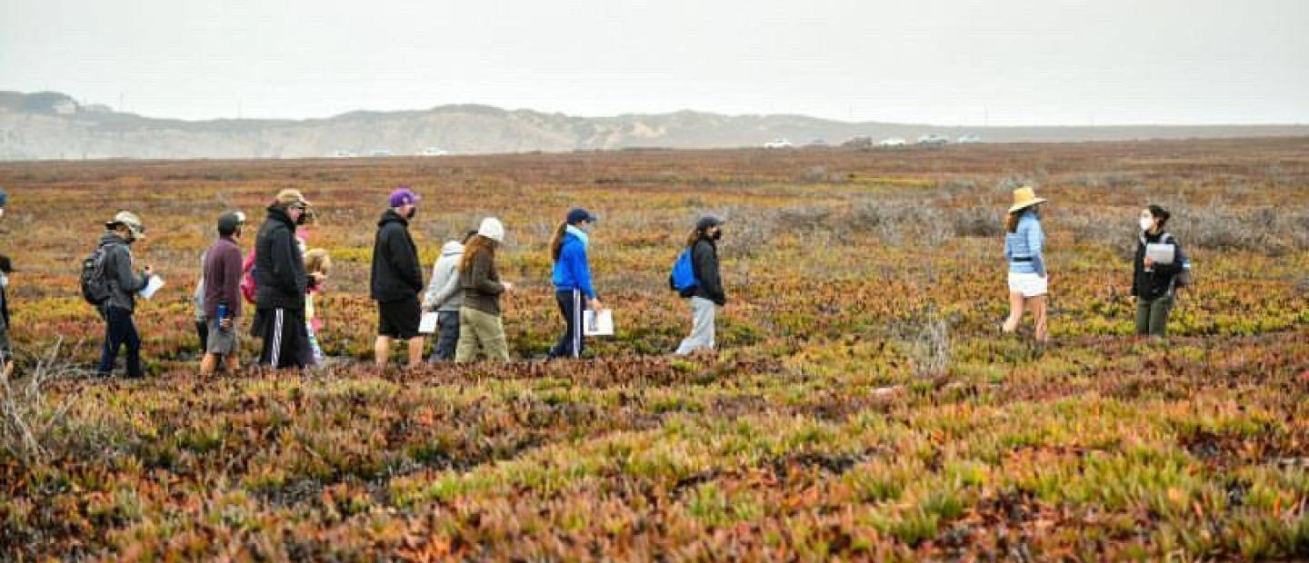
Beds of iceplant, dotted with daisy-like flowers, carpet the roadsides and bluffs of coastal California. To many, the flowers are a beautiful addition to the coastal landscape. However, this familiar plant is an invader: it chokes out native plants and salts the earth beneath it.
In collaboration with NASA and The Nature Conservancy (TNC), NCEAS researchers are developing a comprehensive map of iceplant that will help reclaim the wild ecosystem of the Jack and Laura Dangermond Preserve at Point Conception.
“Iceplant is charismatic and showy; it looks like it could grow on another planet. That masks the insidious effect it has on native ecosystems,” said Mark Reynolds, director of the Point Conception Institute and lead scientist for the Dangermond Preserve, which TNC acquired in 2017 thanks to a visionary gift from Jack and Laura Dangermond.
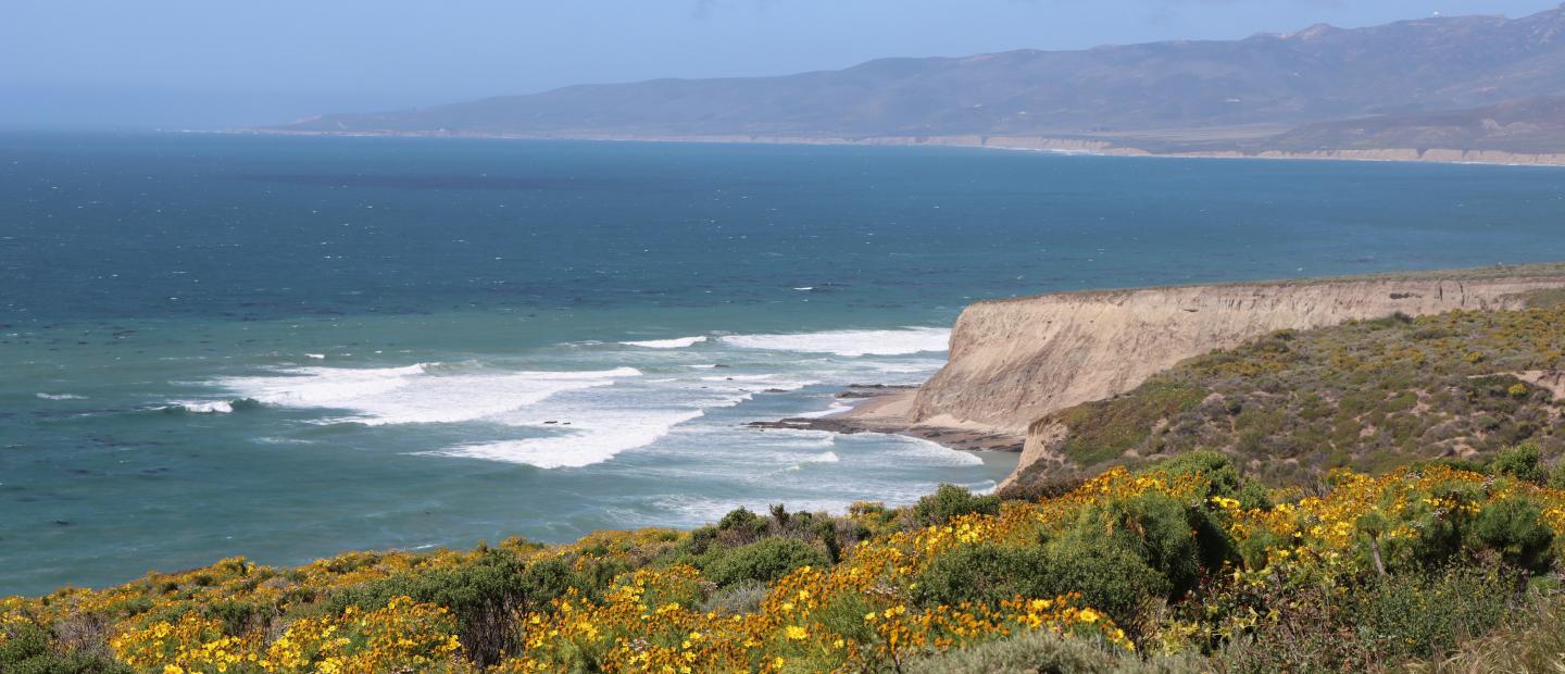
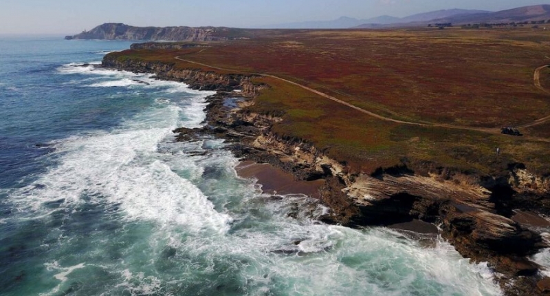
The Dangermond Preserve is a 24,364-acre property at Point Conception, the sharp corner of coastline in Santa Barbara County. While this coast remained underdeveloped for nearly a century, human damage is evident, most pervasively in the form of sprawling swaths of iceplant. In the early 1900s, railway companies introduced iceplant to California to stabilize soil near train tracks.
Over the years, we have learned that iceplant actually has the opposite effect: it destabilizes coastal soils. Iceplant outcompetes native plants for water and sunlight. Once it dominates a dune system, its heavy blanket suffocates the dynamic processes that create habitats for diverse plant and animal species. Burdened by iceplant, sand cannot move on the wind to replenish beaches. Many creatures depend on the dunes as a living system — and iceplant strangles it.
Iceplant covers about 1,100 acres of Dangermond Preserve. TNC plans to eradicate as much iceplant as possible, with a specific mandate from the California Coastal Commission to remove at least 300 of those acres. But, to eradicate an invasive species, land managers must first know where it grows.
“I realized that we had no clear picture of how much iceplant there is, and it occurred to me that we could see it from remotely sensed data,” said NCEAS data scientist Carmen Galaz García.
Galaz García developed an initial map of iceplant in Santa Barbara County through funding from Microsoft. Now, with NASA support, the project will use deep learning to combine satellite, airplane, and drone images into a single comprehensive map. Unlike machine learning, deep learning models can continually improve their performance as they process more data with minimal human intervention.
Satellites capture large areas but lack detail. Cameras mounted on airplanes provide detailed images but cover much smaller areas. Drones offer even greater detail but cover the smallest area. It’s challenging to combine images with varying levels of detail into one map. That’s where deep learning comes in.
“A deep learning framework allows us to zoom in with the least loss in image quality and reveals details that were previously hidden,” said postdoctoral researcher Zhe Wang. “This is a long-term project. There are many invasive grasses with similar characteristics to iceplant, and we hope the framework can be applied to other invasive species.”
TNC has begun treating the first 300 acres of iceplant. As the project progresses, ongoing mapping will guide TNC to where iceplant might hide among native vegetation, or where it may have resurged.
“We see this as an opportunity to learn new techniques and take an experimental approach in using remote sensing to understand iceplant and help us with early detection,” said Reynolds. “This project is a great example of the pathbreaking role NCEAS has had in conservation issues based on the synthesis of information. NCEAS has a culture of creativity and real-world impact, which makes it an ideal partner for The Nature Conservancy.”
NCEAS researchers imagine scaling this project to create a global map of iceplant and an app that empowers citizen-scientists to report where they find it. A landscape freed from the crawling strands of iceplant is biodiverse and resilient, and that’s the vision shared by NASA, TNC and NCEAS.