Sinking Soil, Rising Research
Permafrost – earth that remains frozen for at least two consecutive years – is the foundation of much of the global Arctic region. Forests and cities both depend on the solid structure of permafrost to grow and thrive. Yet climate change is undoing that permanent frosty state.
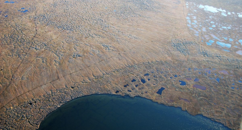
Thaw of ice-rich permafrost causes the ground to subside, slump, or crack. Black water full of decomposing biomass pools in forests and neighborhoods. Communities and ecosystems across the Arctic are losing the very ground beneath their feet. NCEAS Arctic Data Center (ADC) is part of a large collaborative project to quantify and map this global problem. The team met this month in Fairbanks, Alaska to advance the connection between data science and the local communities that can use this information for crucial assessment, planning, adaptation, and mitigation efforts.
Permafrost thaw is an ecological and societal problem so complex that no single institution or government can address it alone. The ADC and several other institutions first took on the problem in 2019. They spent years analyzing vast amounts of data from 175,000 satellite images to create the first snapshot of permafrost features across the entire Arctic. That data is housed in an ADC data portal called the Permafrost Discovery Gateway (PDG).
Yet one warm summer can cause an abrupt thaw of permafrost and a cascading feedback loop that prolongs thaw for several years, says PDG lead and Arctic field researcher Anna Liljedahl. A snapshot of permafrost from space, impressive though it may be, doesn’t show where or how quickly thaw is happening.
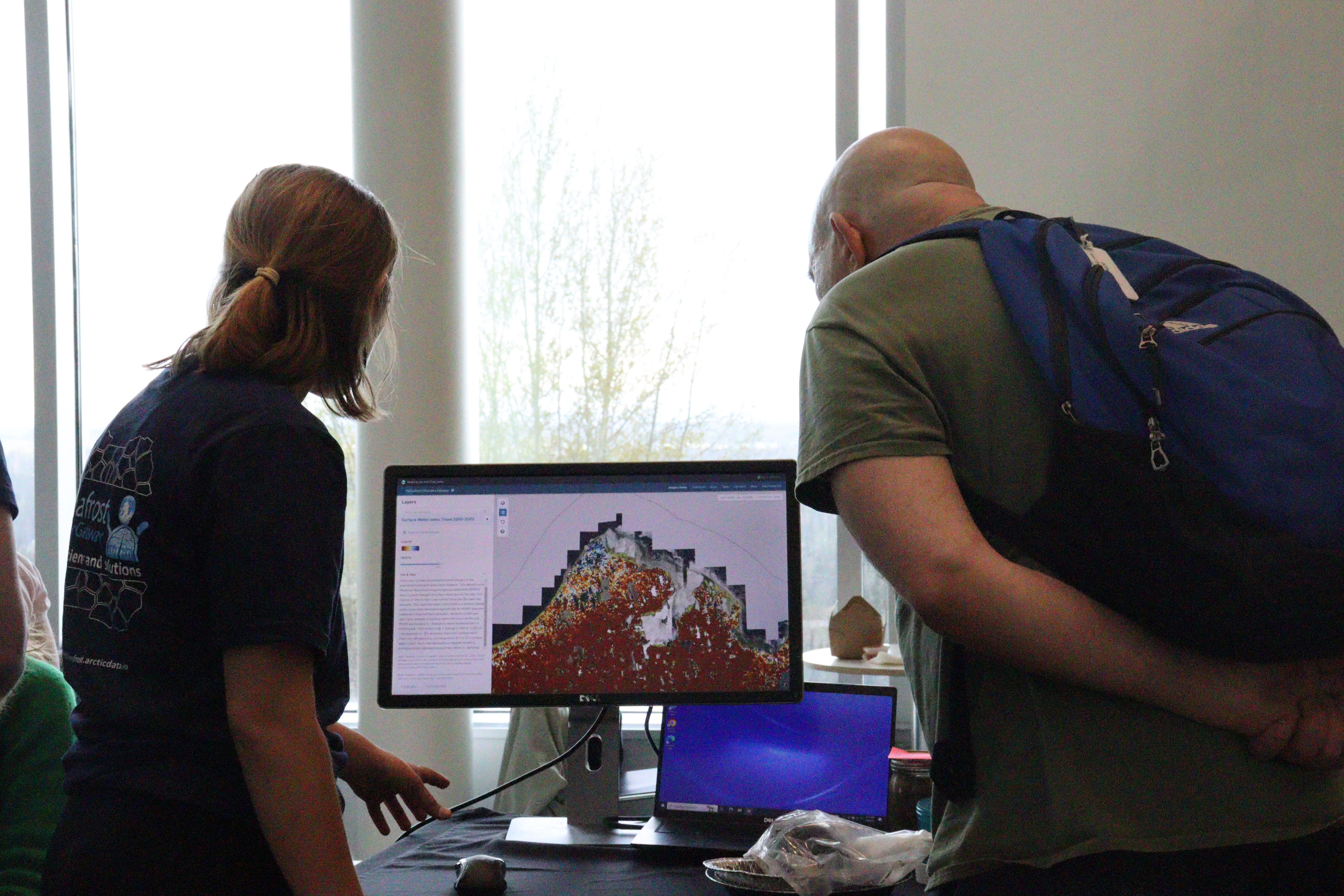
“We were able to illustrate that we can produce really helpful and valuable datasets and maps about permafrost change,” said ADC Director Matt Jones. “We spent the better part of three years running that model once.” Now the team seeks to track thaw in near real-time by analyzing other available data multiple times each year.
It’s an undertaking that was, until recently, too ambitious to compute. In 2023, PDG received a $5 million grant and Fellowship from Google.org, the philanthropic arm of the giant tech company. The funds, cloud computing, and people power included in the award will expedite PDG’s efforts to observe changes in permafrost.
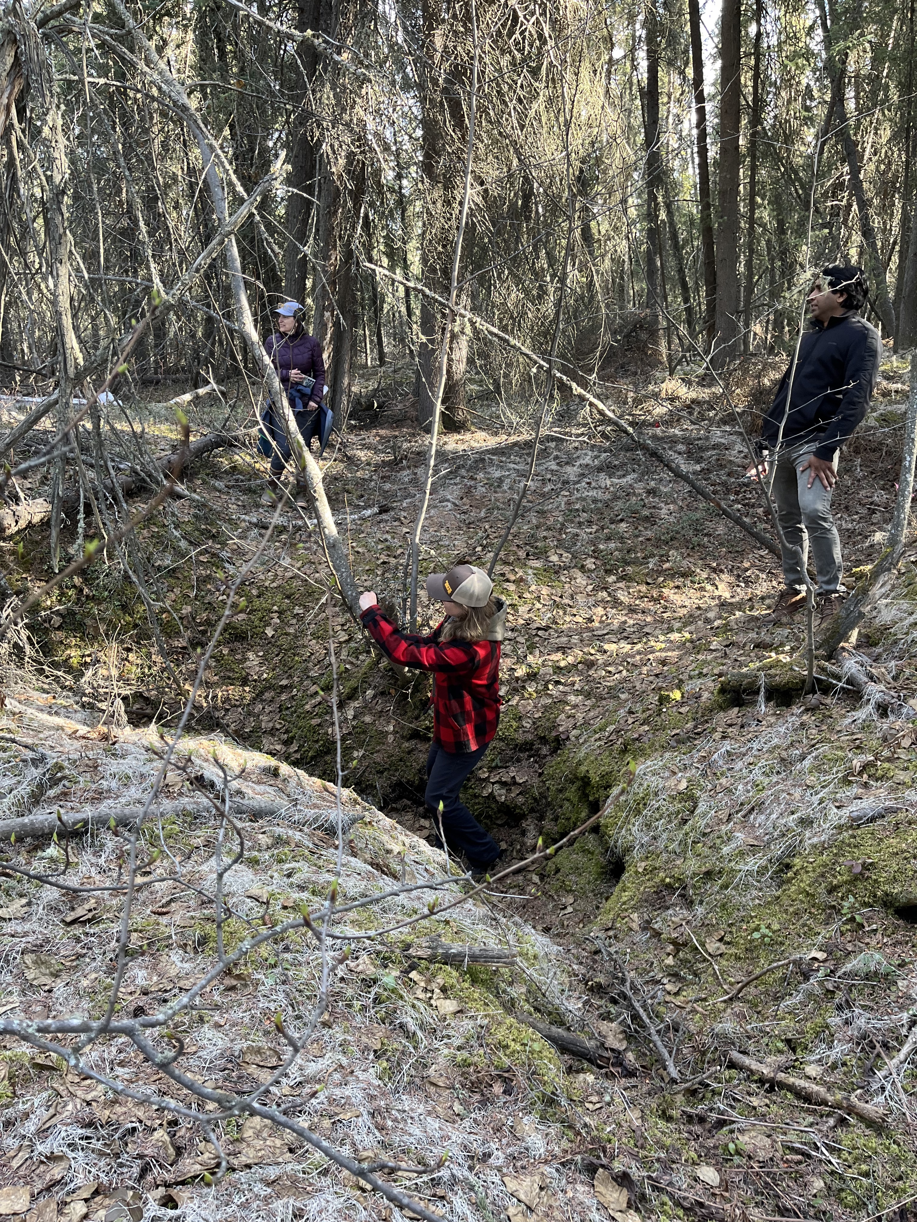
Juliet Cohen is an ADC data scientist involved in processing new datasets and developing a more user-friendly PDG interface. Cohen attended the PDG convention in Fairbanks, Alaska this month, which included public workshops, virtual reality tours, and actual reality tours of permafrost from above and below.
During the public workshops, Cohen heard from Alaskans who were interested in combining PDG data with their own to better inform their work in local communities, such as transportation planning and mitigating damage to roads. She heard from Fairbanks residents who are anxious about whether – or when – their homes will tilt and sink into the ground. Cohen also demonstrated to members of the public how to navigate the PDG interface that she helped to create.
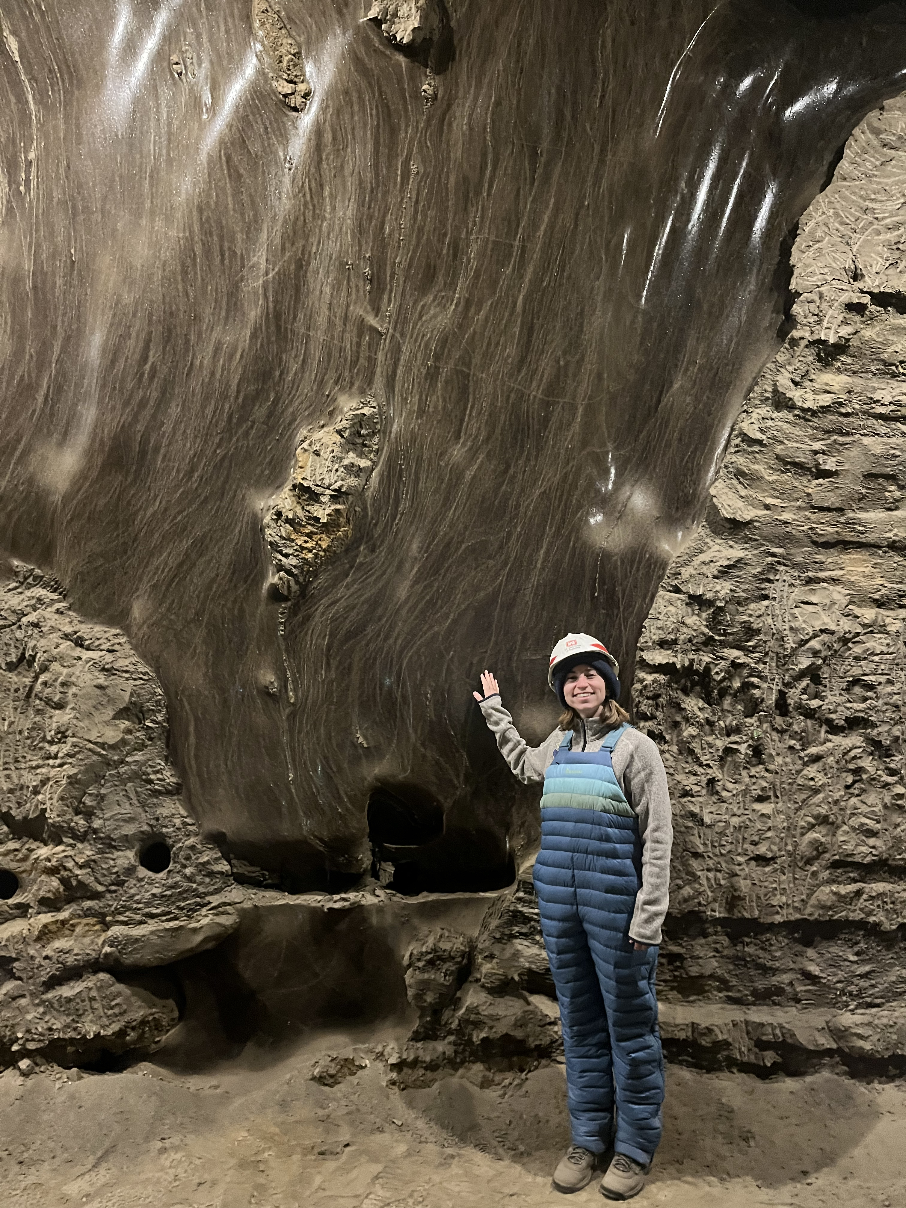
Finally, Cohen had the opportunity to learn from the permafrost itself. She and the rest of the PDG team visited the Cold Regions Research and Engineering Laboratory Permafrost Tunnel Research Facility – a wide passage dug into the side of a grassy hill. Cohen, who works on the PDG project from a laptop in Santa Barbara, California, touched the smooth ice of the permafrost tunnel and saw the preserved bones and horns of animals protruding from the walls. Cohen returned to her desk with renewed appreciation for the scale of permafrost thaw and the impact the PDG can have.
The PDG expects to launch an interactive dashboard next year. In the meantime, the team continues to offer online events to engage community leaders, GIS professionals, researchers and residents of the Arctic with the project.