NCEAS Working Groups
Investigating alternative land use/habitat conservation strategies using GIS and optimization modeling
Project Description
Our proposal intends to explore a future phase of the Alameda/Contra Costa Biodiversity project by development of a tool for considering all land uses and assigning values that can be used in solving for an "optimum" allocation of the limited land resources of the study area. We expect that the kinds of spatially explicit data considered in a model will include locations of wildlife habitat and sensitive species, wetlands, ranches and farms, infrastructure (power lines, water facilities), areas of future development, roads, etc. Through the expertise of our team we will establish values and/or constraints on lands that will limit the range of solutions appropriately. We also, as a primary consideration, intend to build flexibility into the process, allowing alteration of each or any of the land values and the constraints placed on them. We want to be able to take this tool and demonstrate it to any interested party, being able to make adjustments that they may like to see for illustrative purposes.
Principal Investigator(s)
Michael Gilpin, Peter A. Stine
Project Dates
Start: July 1, 1996
End: September 30, 1997
completed
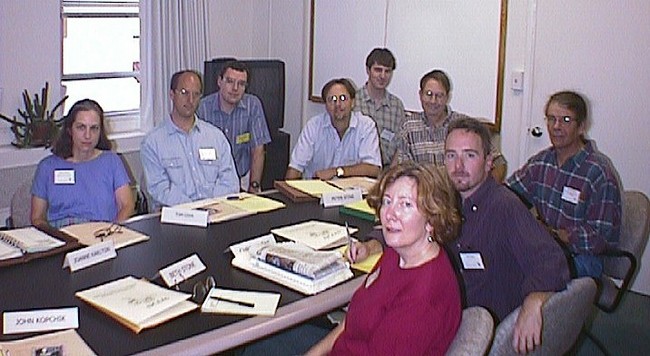
Participants
- Bryan Baker
- Sonoma State University
- Chris Bazar
- Alameda County Community Development Agency
- Richard L. Church
- University of California, Santa Barbara
- Tom Cova
- University of California, Santa Barbara
- James Cutler
- Contra Costa County Community Development Department
- Ross Gerrard
- University of California, Santa Barbara
- Michael Gilpin
- University of California, San Diego
- Joanne Karlton
- California Department of Fish and Game
- John Kopchik
- Contra Costa County Community Development Department
- Todd Olson
- TMC Communities
- Peter A. Stine
- US National Biological Service
- Beth Stone
- East Bay Regional Park District
Products
-
Presentations / 1997
Identifying concentrations of imperiled species in the United States
-
Book Chapter / 2000
The geography of imperilment: Targeting conservation towards critical biodiversity areas
-
Journal Article / 2000
Understanding the tradeoffs between site quality and species presence in reserve site selection
-
Presentations / 2002
Solving patch-based reserve design problems
-
Journal Article / 2003
Constructing cell-based habitat patches useful in conservation planning
-
Presentations / 1998
Combining expert opinion, GIS, and operations research in a single species reserve design
-
Presentations / 1999
An optimization approach to redwood stand selection for the Headwaters Forest HCP
-
Presentations / 1999
Combining expert opinion, GIS, and optimization in natural reserve planning
-
Presentations / 2000
Globally imperiled species in the U.S.: Estimating the area needed for their conservation
-
Report or White Paper / 2001
An optimization model to select redwood stands for the conservation of the Marbled Murrelet in the Headwaters Forest HCP
-
Journal Article / 2001
Habitat evaluation using GIS: A case study applied to the San Joaquin Kit Fox
-
Presentations / 2004
Modeling California spotted owl habitat in the central Sierra Nevada
-
Report or White Paper / 1998
March 19, 1998 NCEAS Working Group Report
-
Report or White Paper /
Economic instruments for habitat conservation